
“The Grid of Survival”• 2025• Gomishan Wetland, Golestan Province, Iran
Archive Index
"The Grid of Survival — A study in texture, memory, and environmental presence."
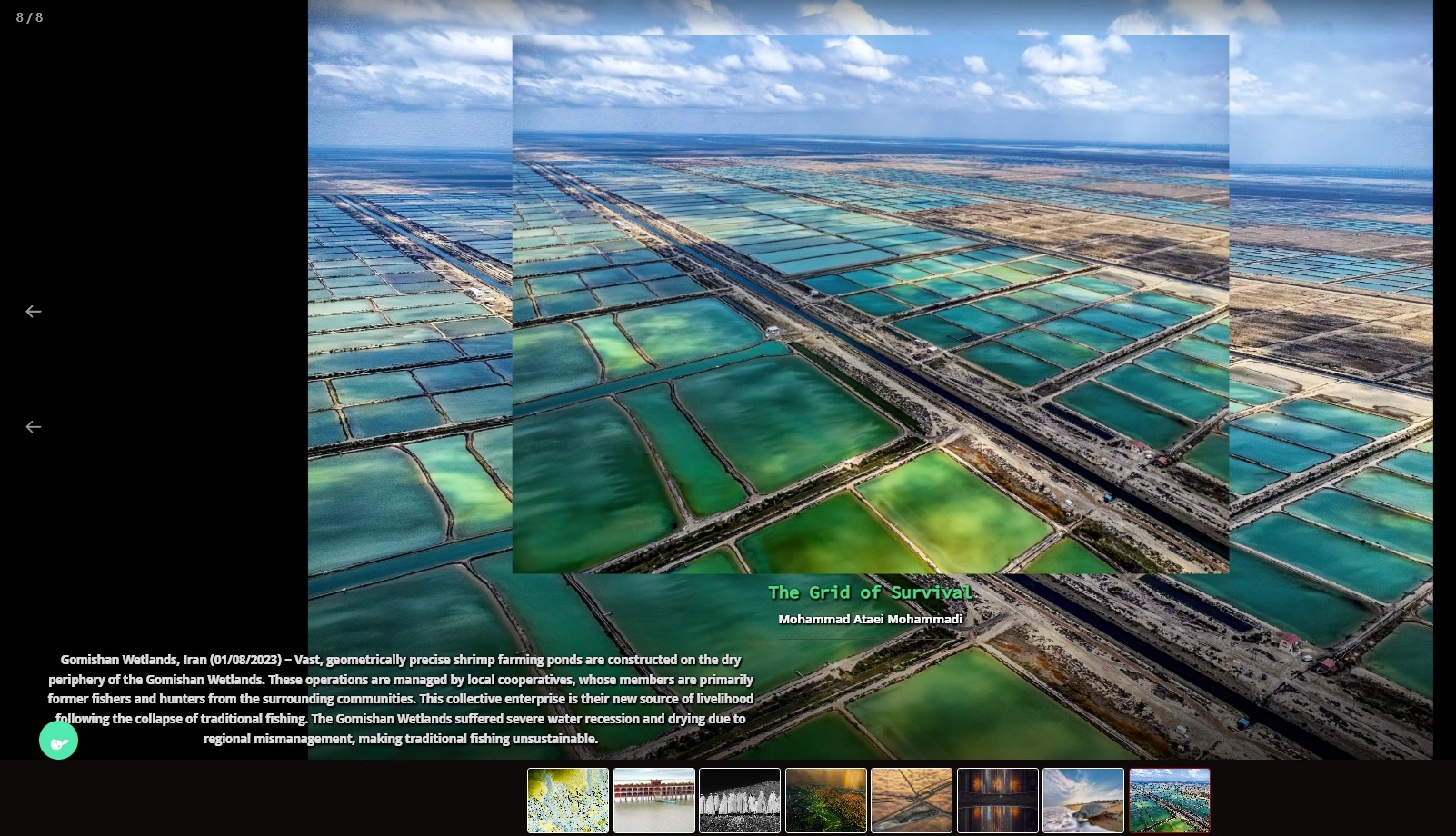
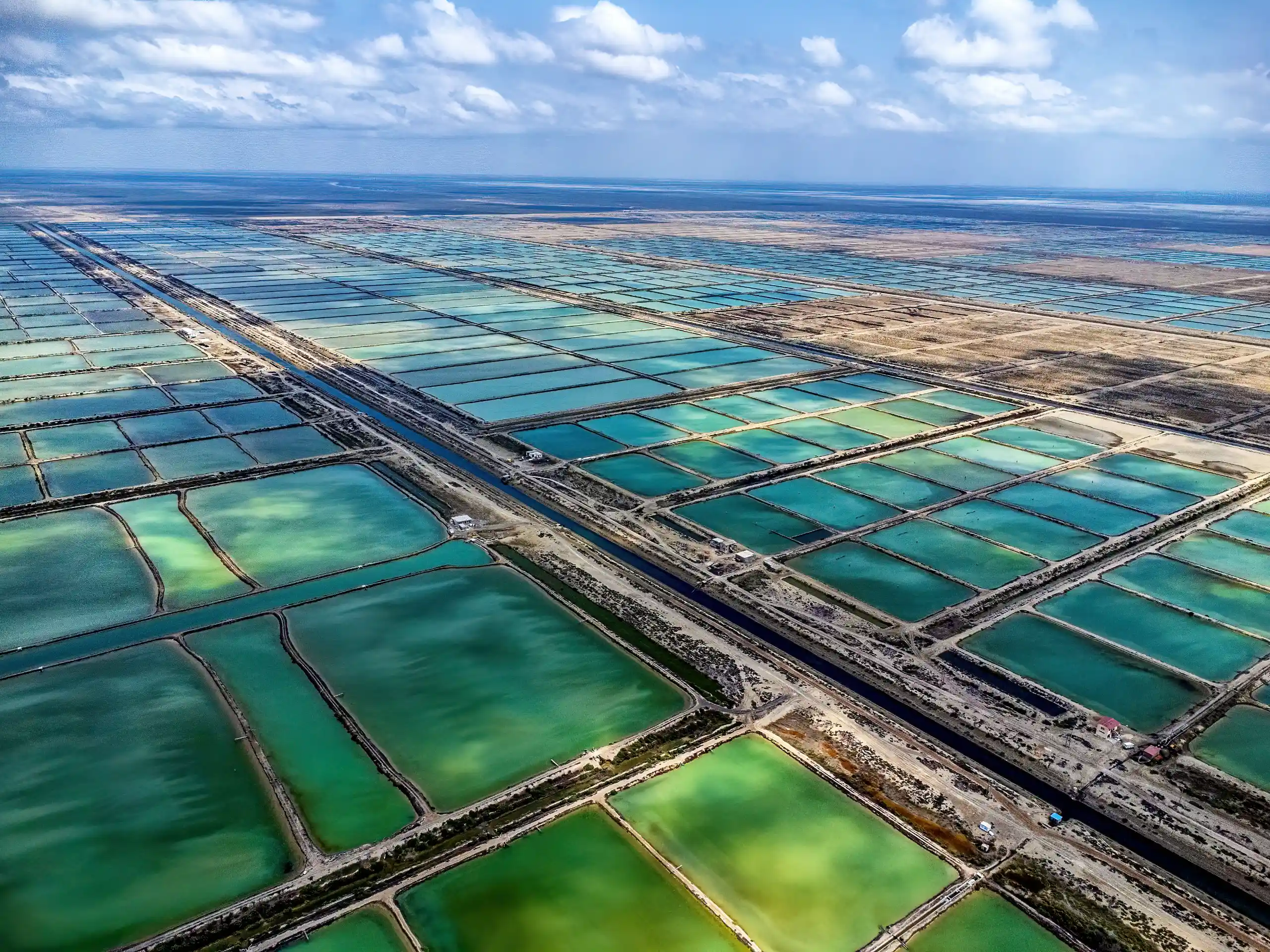
The Grid of Survival is an aerial photograph taken on 1 August 2023 over the Gomishan Wetland in Golestan Province, northern Iran, using a DJI Mini 2 drone.
The photograph depicts a geometric network of shrimp-farming ponds constructed around the dry margins of the wetland. These ponds are managed through local cooperatives whose members include people who previously depended on traditional fishing and hunting for their livelihoods. As the wetland deteriorated and traditional fishing became increasingly difficult, shrimp farming emerged as an alternative source of income for parts of the local community.
The image explores a complex form of environmental adaptation. On one side, the precisely organized geometry of the ponds represents an attempt by local communities to create economic security and maintain their livelihoods. On the other, the surrounding dry and degraded landscape reveals the environmental pressures that have made such adaptation necessary.
The photograph does not present this transformation as either an entirely positive or negative solution. Instead, it raises a question about the difficult balance between local economic survival and the protection of a sensitive wetland ecosystem. The diversion and management of water for aquaculture can provide livelihoods while simultaneously creating questions about long-term environmental sustainability and the consequences of modifying a fragile coastal habitat.
Through the contrast between the ordered geometry of the shrimp ponds and the irregularity of the surrounding dry wetland, The Grid of Survival visualizes a community's organized response to environmental change. The photograph reflects on resilience, livelihood, water management and the complicated relationship between human survival and the ecosystems on which it depends.